Getting ready for a road trip isn’t as difficult as it used to be. There was a time when you needed to know your route ahead of time, which meant pulling out the trusty atlas to see the highways you’d be traveling on.
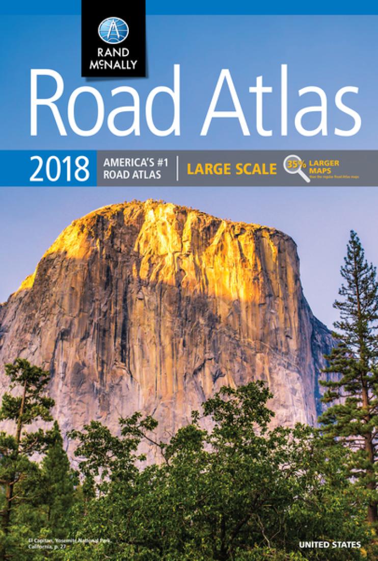
The role of the navigator was almost as important as the driver. That person was responsible for feeding turn by turn directions, while making sure the car radio was providing quality traveling music.The navigator also had to stay awake to make sure the driver didn’t fall asleep.
Technology changes and mobile GPS, TomToms or SatNav devices have made navigation on a trip as easy as following directions from Arnold Schwarzenegger, Cookie Monster or Yoda. Well, maybe easy that would not be.
Nowadays, we don’t need a separate GPS device, as our cell phone gives us directions to where ever we want. Well, until it doesn’t.
Your phone is great for driving directions until you get to a place where you no longer have cell phone reception. The last thing you want to see is a road like this ahead and you no longer have any signal.
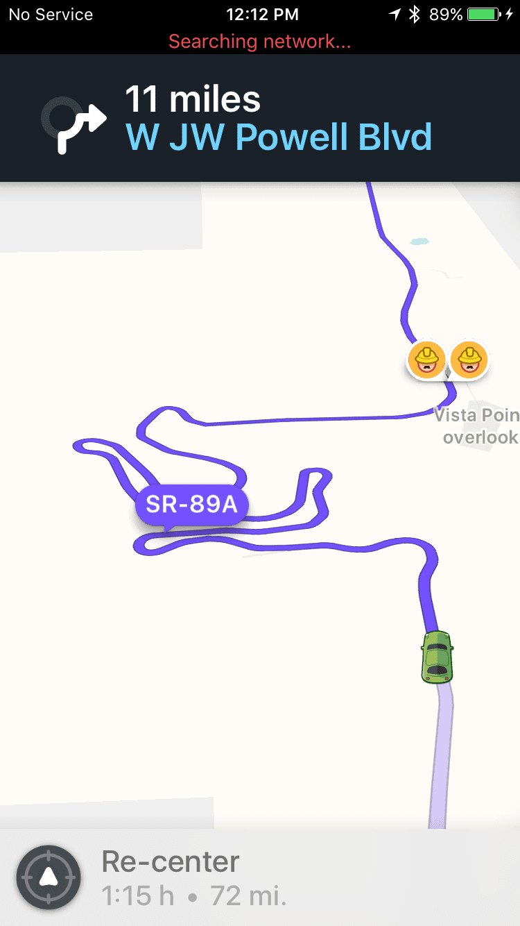
I found out the hard way that using the wrong map program (and stopping at a scenic outlook to take pictures) can cause your online directions to disappear.
Here’s a rundown of some map programs that work when you’re offline
Waze
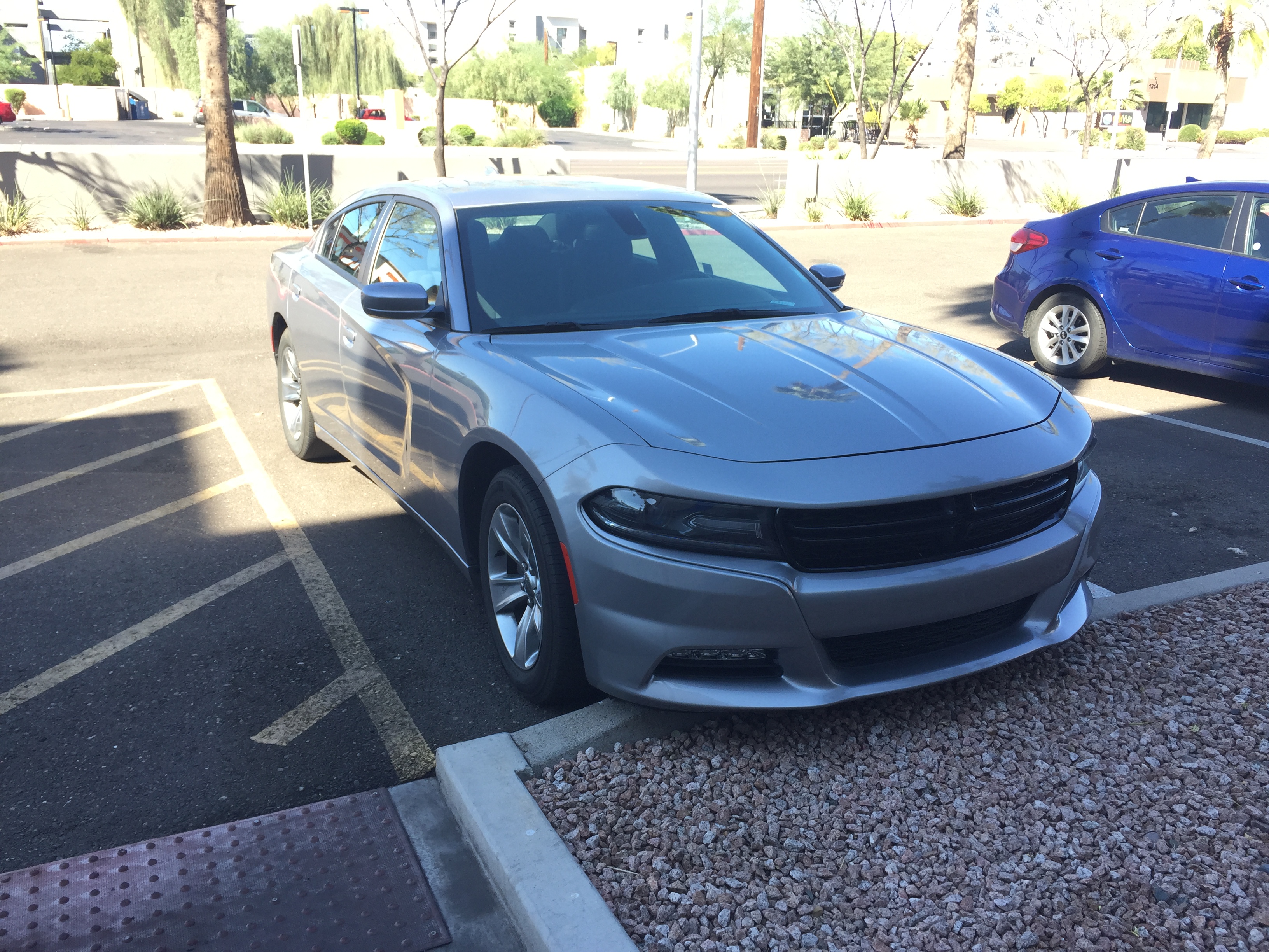
I started to use the Waze app at the recommendation of one of our friends. I love it for driving locally, as it gives up to the minute traffic information as well as provides alerts for red light cameras and speed traps. I don’t speed (much) but that’s why I would hate to be stopped the time when I’m accidentally going a bit over the speed limit. Well, I also can’t be blamed for getting a Dodge Charger as a rental to drive through the Arizona desert. When you need to pass someone on a two-lane highway, it’s incredible how fast that car can get up to triple digits.
Unfortunately, Waze depends on cell phone data to update its maps while driving. Here’s what they say about driving where you may lose cell phone reception.
Internet connection
Waze was built assuming a data network connection would be present all, or at least most, of the time. For all aspects of Waze to operate, you must have an active data connection on your mobile device. This connection enriches Waze with real-time traffic-related information and ensures an up-to-date map. Without an internet connection, you won’t be able to locate or navigate a route.
If you have an intermittent connection, Waze will try to get data from the servers for traffic alerts and hazards, but may not be able to give you reliable information. Additionally, if Waze doesn’t have a connection back to the Waze servers, you will not be able to post hazards. Waze does not cache reports or map issues to send later.
Many websites claim to have a workaround for this. If you input your route before leaving and can get a map to load, this map will stay on your phone’s cache for the trip. However, I learned the hard way that if you accidentally close the app, your map is gone. If that happens in a place where you don’t have a signal, like a beautiful scenic overlook, you better hope you get a signal back before you were supposed to make your next turn. This selfie better have been worth losing our map!

I still use Waze for local trips but I’m not going to use it for road trips outside of large cities anymore.
Google Maps
If there’s a 500 lb. elephant in the room, it’s Google Maps. While Google owns Waze, they run the services independently of one another. Google Maps has many functionalities that Waze lacks (as well as lacks some of the things I like with Waze). The one significant advantage of Google Maps is the ability to download maps ahead of time. All you need to do is open the Google Maps app on your phone (or download it if you haven’t already). When you search for a location where you think there might be no reception, like near Helen, Georgia, one of the options at the bottom of the page is to “download.” You’re able to select how large of a map you want to download.
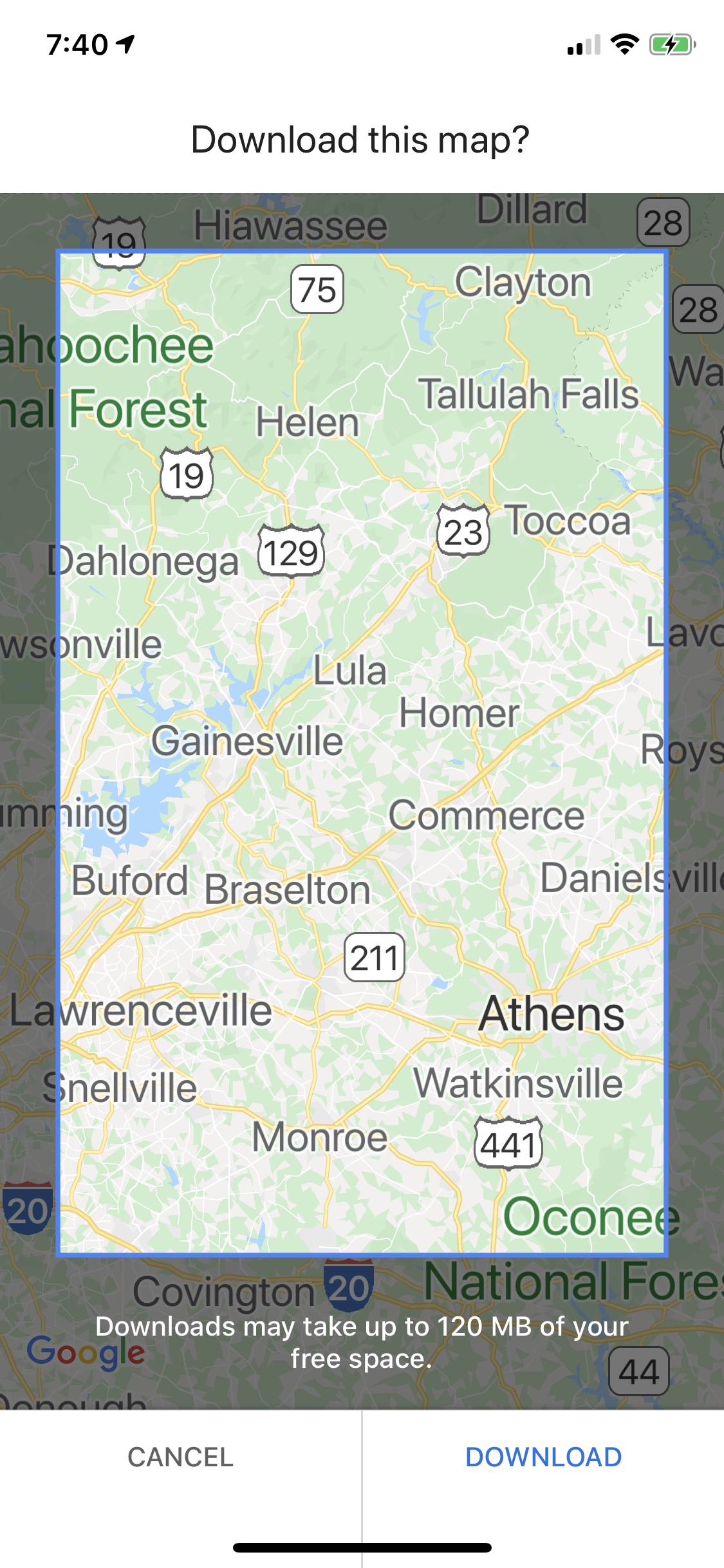
Of course, these maps take up storage on your phone. Google has set these maps to expire after 30 days. You can extend them if you want but make sure not to set them up too far in advance. You also have to know the area you’ll be traveling in but if you’re taking a road trip, hopefully you’ll have a route before you leave.
There are other apps that people recommend but I have no personal experience with them. Here are some of the most commonly mentioned ones:
HERE we go
The HERE maps programs for iOS and Android provides driving, biking, walking and public transportation directions. They’re fully functional for offline use, even giving turn-by-turn guidance even when not connected to the internet.
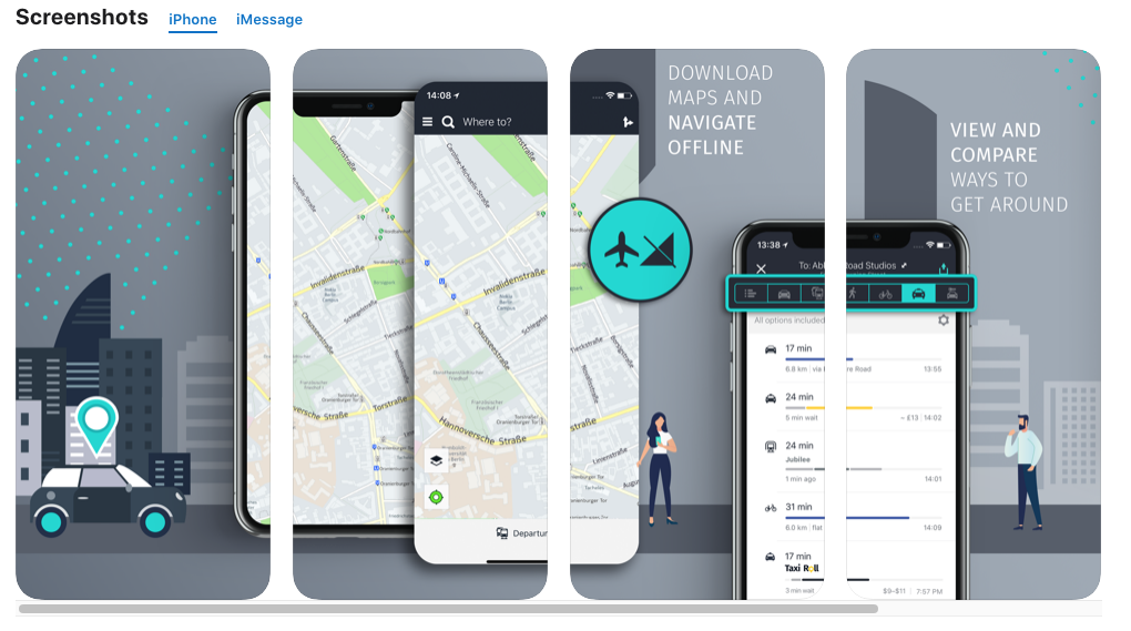
The ability to download offline maps for larger areas, such as a whole state, make this a more straightforward program to use if you don’t know the exact areas you’ll be traveling through.
Sygic GPS
This app truly uses the GPS functions of your phone and relies less on WiFi or cell towers for positioning.
This app isn’t free, The premium version costs 29.99 € per year. This app will apparently connect with some in-car infotainment systems. However, I wouldn’t count on that for a rental car (it takes me days to figure out how to pair my iPhone with a car via Bluetooth).
The app does seem to be really detailed, with 3D maps and real-time road displays. It gets 4.6 and 4.7 reviews from the Apple and Google stores.
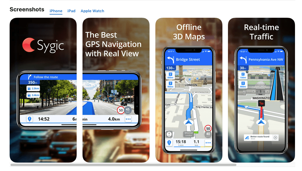 I’m not one to pay for an app that does the same thing as one I can get for free. However, if we were driving around the USA, having a map that worked everywhere even when offline would be invaluable.
Maps.ME
I mention this one as it came up on almost every search I did for offline maps. I’m sure it’s a fine program but from the screenshots, it doesn’t look like it’s for me.
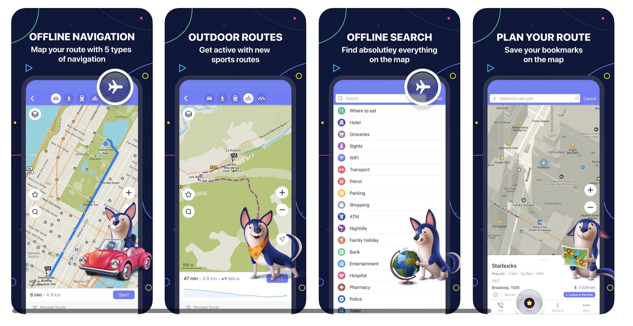
I can’t help but think that this looks like a map for people who like to send out selfies of themselves with animal faces to their friends on Snapchat or make silly dance videos on TikTok. That’s so not me (Note from Sharon: Nor me!).
Final Thoughts
If you’re planning that road trip across the USA this summer, make sure you have the right map application on your phone for your trip. While Waze is great for when you have a cell phone signal, make sure to download maps for rural areas with apps like Google Maps, HERE we go, or Sygic GPS. That is unless you want to take that ancient road map out of the glove compartment (why is it called that anyway?)
Want to comment on this post? Great! Read this first to help ensure it gets approved.
Like this post? Please share it! We have plenty more just like it and would love it if you decided to hang around and get emailed notifications of when we post. Or maybe you’d like to join our Facebook group – we have 22,000+ members and we talk and ask questions about travel (including Disney parks), creative ways to earn frequent flyer miles and hotel points, how to save money on or for your trips, get access to travel articles you may not see otherwise, etc. Whether you’ve read our posts before or this is the first time you’re stopping by, we’re really glad you’re here and hope you come back to visit again!
This post first appeared on Your Mileage May Vary

2 comments
For oh lets say 25 years I navigated with a CAA road Atlas, I still have one with bright florescent marker showing the roads I traveled. I now have GPS and with all information at my finger tips, I rarely missed what I set out to find but I sometime miss the adrenaline of a unexpected gem. Some of my best adventures and stories come from the unplanned and unknown places I found randomly. Cheers thanks for a great post.
[…] will be at the next exit, to learning what kind of interesting things will be along your route, to the pros and cons of the various map/GPS programs out there and even what to bring and NOT to bring in your suitcase. But what you bring specifically for the […]