The London Underground, also known as the Underground or simply the Tube, is the rapid transit system serving Greater London and some of its more outer, adjacent areas.
Why Accessibility Matters on the London Underground
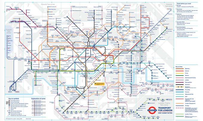
The various stations of the Underground have been built (and subsequently rebuilt and/or expanded) throughout the 19th, 20th and 21st centuries. Some are significantly more accessible than others, with escalators and elevators for those who aren’t able to walk multiple stairs up and/or down. However, the iconic map of the Underground doesn’t provide any information on which stations are accessible and which are not.
Knowing which stations are accessible is important to those who use a wheelchair, walker or crutches to help them with mobility, or even those who simply don’t maneuver stairs very well.
However, there’s another group that would love to know which stations have options besides, you know, stairs.
Travelers.
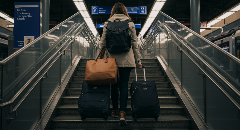
A typical traveler on their way to/from their hotel, with a check bag, a carry-on, and a personal-sized bag in tow, is up for a horrible surprise when they see they have to negotiate one or two flights of stairs in an older station that wasn’t built with accessibility in mind. I’ve been that traveler on more than one occasion (most recently last month) and I can tell you it’s not fun (*cough* especially when you’ve taken an overnight flight and you’re trying to walk up these steps, with all your stuff, at 6 o’clock in the morning *cough*).
The Map That Solves the Problem
However, the makers of an app called Snowball have fixed that problem.
They’ve recreated the map, but with a twist – they’ve color-coded the stations to know how accessible they are.
- Stations that are GREEN are fully step-free
- Stations that are ORANGE offer assistance from staff and portable ramps
- Stations colored in RED are not accessible to wheelchair users (or travelers with heavy luggage).
The map also indicates airport access points, bus network connections, access to the so-called “Dangleway” IFS cable car over the River Thames, and even includes station opening times.
FUN FACT! 93 out of 272 Underground stations are step-free, including the entire Elizabeth Line and Docklands Light Railway (DLR), as well as the 60 fully accessible Overground stations.
Where to Get the Snowball App
The Snowball app is available for both iPhone and Android.
I don’t know about you, but I am DEFINITELY going to take a good look at it before our next visit to London!
Want to comment on this post? Great! Read this first to help ensure it gets approved..
Want to sponsor a post, write something for Your Mileage May Vary, or put ads on our site? Click here for more info.
Like this post? Please share it! We have plenty more just like it and would love it if you decided to hang around and sign up to get emailed notifications of when we post.
Whether you’ve read our articles before or this is the first time you’re stopping by, we’re really glad you’re here and hope you come back to visit again!
This post first appeared on Your Mileage May Vary

2 comments
The TfL [Transport for London] app has an option to search for step-free options when getting directions between two locations. Much easier than figuring out a map.
Is there a similar map or app for Paris?